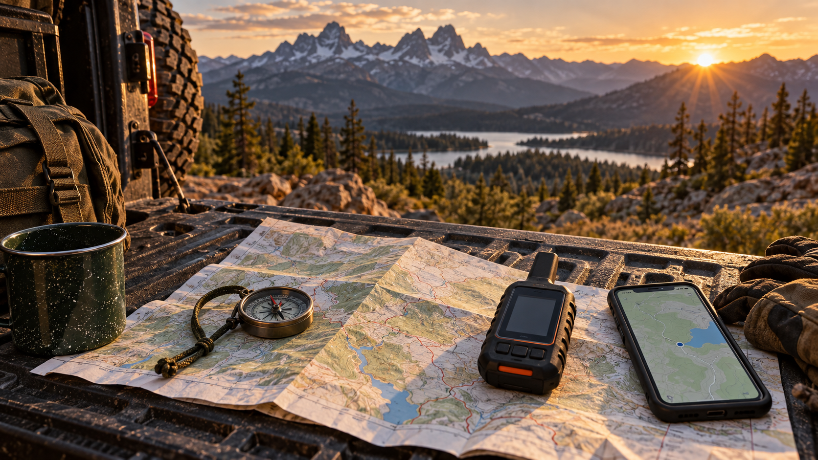
A navigation app can show your position quickly; a paper map does not depend on a phone battery. Neither one, by itself, tells you that a route is legal, open, or suitable for your vehicle today. For a beginner 4×4 day trip, the useful comparison is not which format wins. It is what each format can do when reception, power, route signs, and your original plan stop agreeing.
As an Amazon Associate I earn from qualifying purchases. Some product links in this article are affiliate links.
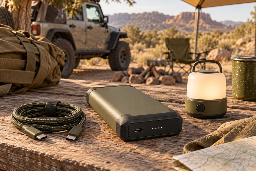
Keeping the phone charged supports an offline map, but it does not replace a paper backup. The Anker 737 power bank is one power-bank option to compare with your device connectors and trip length; test the actual setup before leaving.
The phone is convenient when prepared
An offline map can help you follow a downloaded route when cellular service disappears. Download the area before departure, open it once without a network connection, and check that the map includes enough surrounding roads to understand a detour. A single screenshot of a route is much less useful than a full local map. Keep the device charged and bring power that works with your vehicle.
The National Park Service notes that some park maps can be downloaded for offline use, but it still advises carrying a paper backup because a phone can lose power, break, or go missing. Treat the app as a tool you test, not an assumption that the blue dot will always be available.
Paper helps you see the wider picture
A printed map gives the whole route and alternate roads at a glance. Mark your start, intended turnaround point, and the junction where you will leave the dirt road. Put it where a passenger can use it without searching through luggage. Paper is not magic: an old map may miss closures or changing designations, and you still need to know how to read its scale and symbols.
The Joshua Tree National Park backcountry guidance recommends detailed maps alongside GPS and warns that phone reception can be very limited. That is a setting-specific example of why two independent ways to understand your location matter more than buying another app subscription.
The legal route is a separate question
On National Forest land, a Motor Vehicle Use Map identifies designated roads, trails, vehicle classes, and seasonal allowances. The Forest Service describes the published MVUM as the reference for legal motorized travel in that forest. A commercial map or a track shared online can be useful for planning, but it should not replace the current land-manager information.
Before departure, check the current map and closures for the exact district or park. Recheck when you arrive if conditions have changed. If an app and the official map disagree, pause and resolve the difference rather than assuming a visible tire track grants access.
Put the two formats to work together
Download the map, carry the paper copy, and tell a trusted contact your route and return time. At major junctions, compare your location with both formats before continuing. Decide in advance what will make you turn around: lost position, weather, time, fuel, or a road that looks beyond your experience.
The best navigation kit for a first trip is the one you can actually use when the phone is unavailable. An offline app offers speed and detail; paper offers resilience and perspective. The common requirement is a current, legal route and a plan that does not depend on perfect reception.