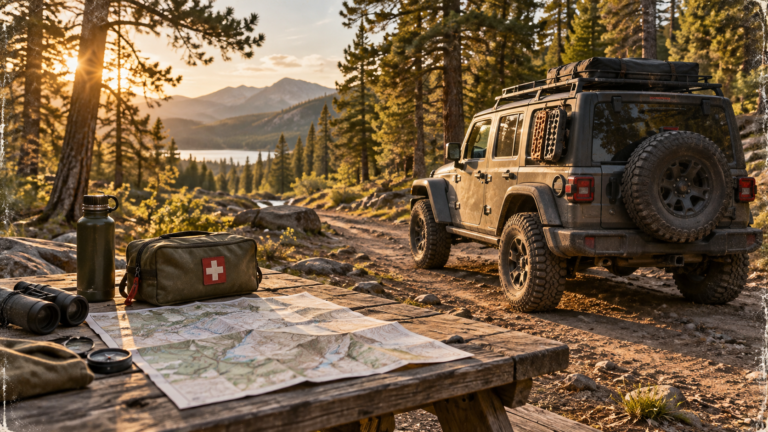
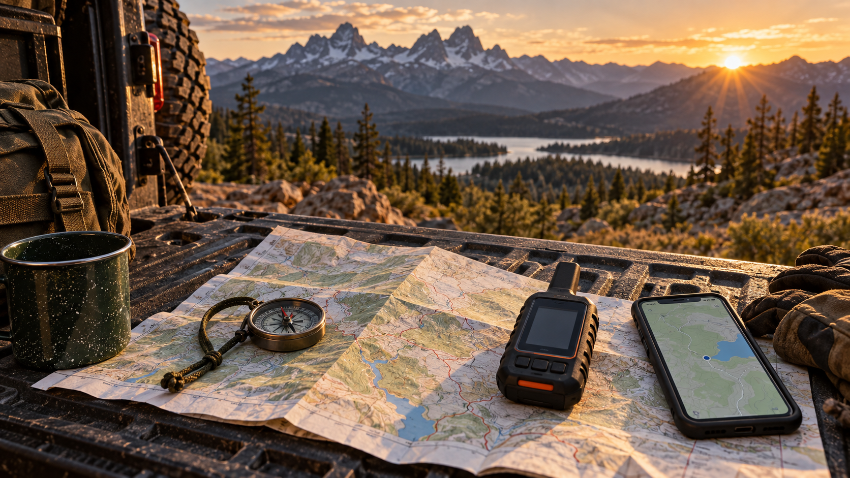
A phone can show the trailhead and still leave you without a plan once the road forks and reception disappears. A simple 4×4 day trip needs a route you are allowed to drive, a way to find your way back, and a person who knows when to look for you. None of those tasks requires an elaborate dashboard, but each needs attention before departure.
As an Amazon Associate I earn from qualifying purchases. Some product links in this article are affiliate links.
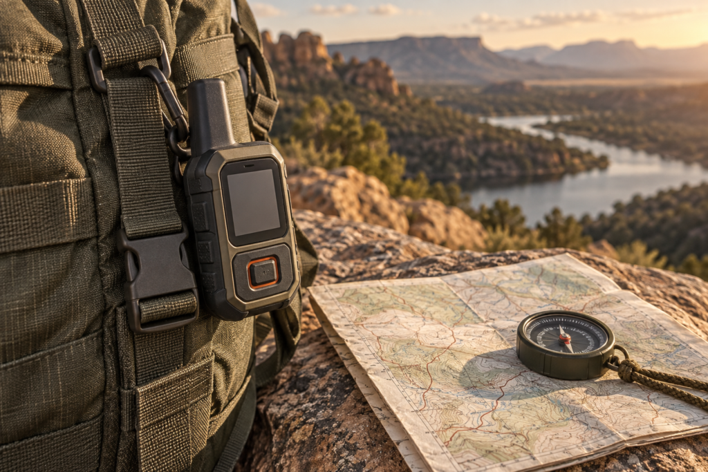
If the route truly extends beyond dependable cell service, the Garmin inReach Mini 2 is a specific satellite communicator to evaluate alongside your offline maps and check-in plan. It requires a subscription for satellite messaging; confirm coverage and service terms before purchase.
Verify the route with the land manager
Start with the park, forest, or other land manager responsible for the road. Check legal access, seasonal restrictions, closures, and vehicle limitations. For National Forest routes, the Forest Service explains that its Motor Vehicle Use Map identifies designated roads and trails, vehicle classes, and seasonal allowances. A track shared by another driver is not evidence that a route is open now.
Save the current official map or route information and read its legend. Notice where the legal route ends. If the access information is unclear, call the managing office or choose a better-documented trip. Do not create a route by following tire tracks across land where motor travel is not allowed.
Prepare an offline and a paper view
Download the full area, not just a narrow line showing the intended route. Open the map in airplane mode at home to verify it actually works without service. Mark the start, the junctions that matter, and the point where you intend to turn around. Charge the phone and carry a compatible power source.
The National Park Service advises using offline park maps where available while carrying a paper backup. It notes that phone power can fail or a device can be damaged or lost. A printed map lets the group see alternate roads and distances even when nobody can load an app. Practice reading it before the trail becomes confusing.
Tell someone what to expect
Leave a trip plan with a trusted person who is not in the vehicle. Include the route, vehicle description, names in the group, departure and expected return times, and what they should do if you do not check in. The NPS trip-planning guide emphasizes this outside contact because a delayed return is easier to respond to when someone knows where to begin looking.
Agree on a check-in time that allows a reasonable margin without leaving an indefinite gap. If plans change while service is available, update the contact. If you cannot update them, keep the original plan conservative enough that a late return still has meaning.
Plan for limited reception
Do not assume the trail will have cellular coverage. Joshua Tree's backcountry-road guidance warns that reception can be very limited and recommends a satellite communication device for its remote conditions. That does not make every day trip a satellite-device purchase, but it does prompt a direct question: how would this group request help if the vehicle stopped here?
Choose a route whose remoteness matches your communication capability. Travel with another prepared vehicle when conditions justify it, carry supplies for delays, and establish how the group will stay together. An offline map, a paper backup, and a trusted contact are a strong base. The decision to go farther should follow a stronger plan, not just a stronger signal icon.